

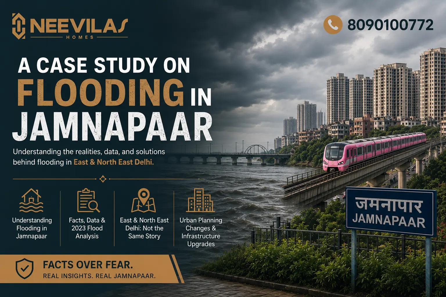
For any resident or investor in Delhi, the term “Jamnapaar” often conjures two contrasting images: a booming real estate hub and the sight of an overflowing Yamuna. The 2023 monsoon, which saw the Yamuna reach a record height of 208.66 meters, reignited the debate: Is Jamnapaar a “sinking ship,” or is the flooding narrative more myth than reality?
This case study examines the mechanics of flooding in East and North East Delhi, the structural shifts in urban planning, and why the “flood tag” is often misapplied to the entire region.
Why Does it Happen?
Flooding in the Trans-Yamuna belt is rarely about local rainfall alone. It is a combination of three critical factors:
- The Hathnikund Factor: When Haryana releases massive volumes of water from the Hathnikund Barrage, it takes about 48 to 72 hours to reach Delhi.
- Siltation and Narrowing: Over the decades, the riverbed has risen due to silt, and the natural floodplains (the Khadar areas) have been squeezed by both legal and illegal constructions.
- Backflow Issues: During peak floods, the city’s internal drains cannot empty into the river because the river level is higher than the drain outlets, leading to “backflow” in residential colonies.
The “Khadar” vs. The “Developed Uplands”
The biggest misconception is that all of Jamnapaar floods. Geographically, the region is divided into:
- The Floodplains (Low-lying): These are areas near the riverbanks, often occupied by nurseries or unauthorised clusters. These do face the brunt of the water.
- The Developed Plateaus: Areas like Karawal Nagar, Sabhapur Extension, Sonia Vihar (higher reaches), and the newly developing sectors are situated on significantly higher ground. These areas remained significantly dry even during the historic 2023 floods.
And even when we talk about last year’s flooding in Delhi, in which posh areas of Delhi were drowning, there was not even any waterlogging, let alone flooding, in the area.
How the Jamnapaar Map is Shifting
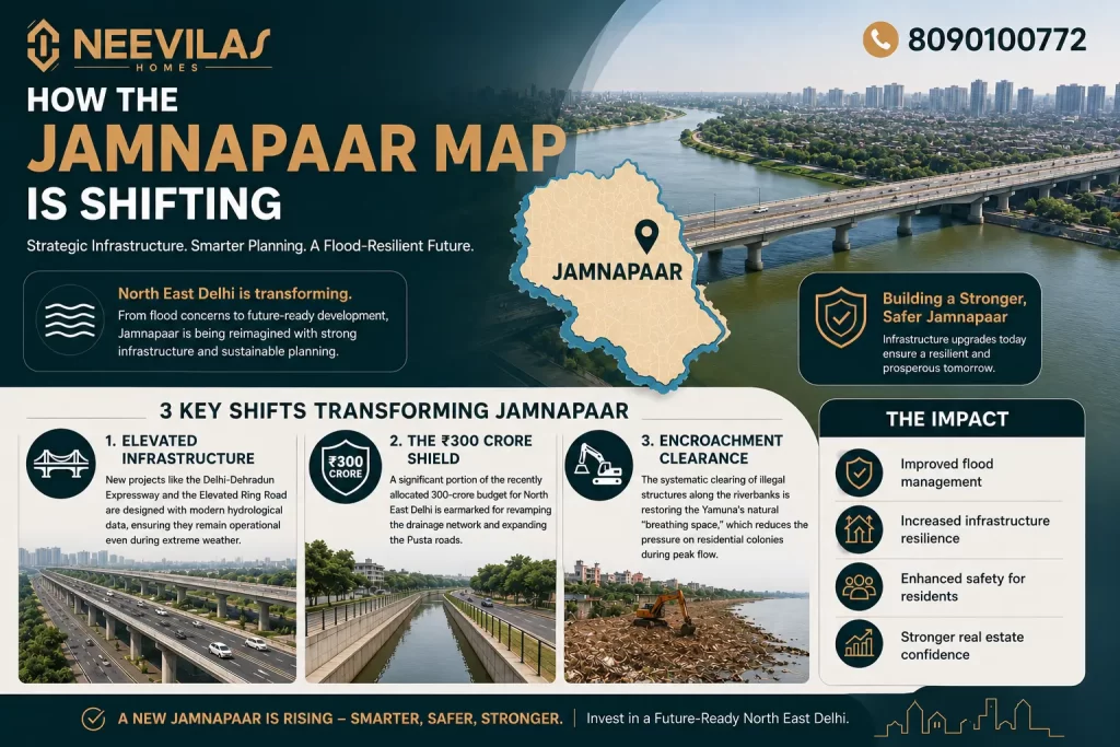
The government’s recent focus on North East Delhi has moved beyond just basic relief. Structural changes are being implemented to “flood-proof” the future:
- Elevated Infrastructure: New projects like the Delhi-Dehradun Expressway and the Elevated Ring Road are designed with modern hydrological data, ensuring they remain operational even during extreme weather.
- The ₹300 Crore Shield: A significant portion of the recently allocated 300-crore budget for North East Delhi is earmarked for revamping the drainage network and expanding the Pusta roads.
- Encroachment Clearance: The systematic clearing of illegal structures along the riverbanks is restoring the Yamuna’s natural “breathing space,” which reduces the pressure on residential colonies during peak flow.
Risk vs. Perception
The “Jamnapaar flooding” narrative is often used as a tool to drive down property prices by those unaware of the topography. While the riverfront will always be a dynamic zone, the residential and commercial hubs are being fortified by massive infrastructural investments that were non-existent a decade ago. For the smart investor, the key is distinguishing between “river-adjacent” risk and “region-wide” growth.
Building Your Future on Solid Ground
Investing in a home should bring peace of mind, not a fear of the monsoon. At Neevilas Homes, we prioritise geography as much as legality. Our registered plots in Delhi-NCR are strategically selected in high-growth, high-altitude zones that sit well above the flood-prone markers. By combining a secure “Pakki Registry” with locations that benefit from the latest elevated road and drainage projects, we ensure your investment stays dry, safe, and constantly appreciating. Discover a foundation that stands firm, regardless of the weather. The future of Delhi’s real estate is now in North East Delhi, so why not explore it with a developer trusted by thousands since 1983?